 HERDLINE
For livestock owners · In development
HERDLINE. Keep your herd in sight.
We are developing satellite monitoring to help you find animals and notice changes in their activity — even on pastures without mobile coverage.
In development · Pilot program open
01 — The problem
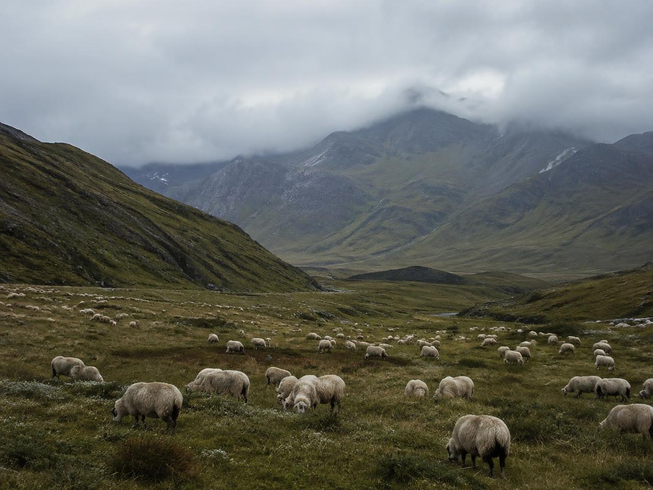
Are your animals far away — and out of sight?
You have to travel to check the herd. A missing animal or unusual behaviour may go unnoticed until your next visit.
- 01
Time spent checking
Regular trips to scattered pastures take time and effort.
- 02
Missing animals
Without a reported location, it is hard to know where to start searching.
- 03
Late warning
An unusual change in activity can remain unnoticed between visits.
Farmstead
Mobile coverage
Remote pasture
No mobile coverage
02 — How it works
An animal, a device, your phone.
The planned system sends location and activity data through satellites. No mobile signal or gateway would be needed at the pasture. The system is still in development.
- 1
Device on the animal
A collar or tag collects location and activity data.
- 2
Satellite delivery
Short messages travel via satellite and ground stations.
- 3
Information on your phone
See the last reported position and activity changes. Updates are periodic, not a continuous live feed.
03 — What you could get
Know where they are. Notice when something changes.
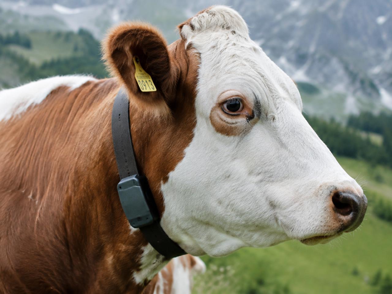
Find an animal
See its last reported position to help narrow down your search.
Notice activity changes
Changes in movement may signal that an animal needs attention. Health monitoring is a key development priority; alerts require suitable sensors and validation and do not diagnose disease.
Know when it leaves the pasture
Planned boundary alerts depend on how often the device reports and how quickly messages arrive.
Planned capabilities: availability depends on the final devices and service. The system is in development.
04 — Join the pilot
Tell us about your herd.
We are developing HERDLINE and looking for farms to help test it. This is an invitation to discuss a pilot, not a ready-to-use service.
What happens next
- You tell us about your pasture, animals and the problem you want to solve.
- We reply by email to discuss whether a pilot is suitable for your farm.
- Before any trial, we agree on the devices, duration, costs and your feedback. These terms are not yet published.
Technology and specifications
Architecture
The planned data path
Collects position and activity readings.
Delivery times and battery life still require engineering validation and field trials.
07 — Technology and infrastructure
A Satellite Layer for Massive, Low-Power IoT.
Ultra-narrowband communications
Narrow signals concentrate energy, helping messages travel long distances at low transmit power.
Short data messages
Payloads of a few bytes — positions, status and sensor readings.
Low-power device design
Infrequent, brief transmissions to support long battery life.
Direct satellite connectivity
Devices communicate with satellites without an intermediate local gateway.
Scalable message reception
Designed for very large numbers of devices sharing the same channel.
Open integration
Interfaces for existing sensors and farm-management platforms.
Technological foundation: mioty
mioty is an LPWAN standard (ETSI TS 103 357) based on Telegram Splitting Ultra-Narrowband (TS-UNB): each message is split into many short sub-packets sent across time and frequency, making transmissions robust against interference and suitable for large device numbers. We consider mioty a relevant foundation for our satellite link. Its use here does not mean the proposed satellite network is already operational.
HERDLINE · pending engineering validation
Satellite frequency and spectrum permissions, orbit and constellation size, reporting interval, delivery latency and probability, battery life and supported device classes remain to be defined and tested.
Technical benchmarks
mioty reference · not HERDLINE measurements
- Uplink MAC payload
- 1–245 bytes
- Protocol payload range; usable application data depends on headers and implementation.
- Physical-layer data rate
- 512 bit/s
- Radio reference rate, not application throughput or message delivery speed.
- Receiver sensitivity
- −139 dBm
- At 10% packet error rate, assuming a 5 dB receiver noise figure.
- Maximum coupling loss
- 153 dB
- At 14 dBm transmit power; not a validated satellite link budget.
- Energy per transmission
- 34.2 mJ
- Published terrestrial example for 10 bytes of application data; excludes GNSS, sensors and whole-device consumption.
The figures above are published reference values for terrestrial mioty, not measured HERDLINE specifications or a satellite-service forecast. HERDLINE performance estimates will be labelled as projections with their assumptions when engineering calculations are available; final values require tests and pilots. No operational constellation or guaranteed coverage is implied.
For partners and investors
09 — Strategic partnerships
Building the Infrastructure for Connected Agriculture.
We are open to collaboration with organisations that share the goal of connecting remote agriculture.
- Agricultural technology companies
- Sensor and collar manufacturers
- Satellite operators
- Research institutions
- Farm-management software providers
- Agricultural cooperatives
10 — Investors
A New Connectivity Layer for Global Agriculture.
Distributed market
A large, geographically distributed livestock market, much of it beyond reliable terrestrial coverage.
Recurring revenue
A connectivity model built on recurring per-device subscriptions.
Multi-vendor integration
Potential integration with multiple collar, tag and sensor manufacturers.
Beyond livestock
Expansion into additional remote IoT applications: environment, water, assets, infrastructure.